20.6K
Downloads
55
Episodes
Welcome to “Down to Earth”, a 30-minute podcast about innovative geoscience and the incredible people behind it. Each week, we host a different guest to talk about science, careers, and passions. From stories about meeting their idols, to investigating their science superpowers, and all the fascinating research and engineering projects in between, Down to Earth is sure to become your quick and compelling catch-up on the people and the work in geoscience. This podcast is presented by the IEEE Geoscience and Remote Sensing Society.
Episodes
Feb 5, 2025
Feb 5, 2025
33 min
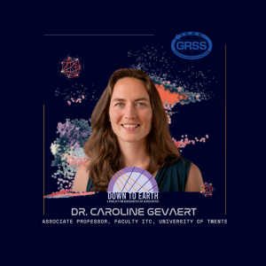
After covering many of the exciting possibilities and potential challenges of AI in Earth Observation (EO), the question still remains: Is AI in EO going to be more of a help, or a hindrance? The answer lies in whether or not we can use AI ethically. In this episode, we speak with Dr. Caroline Gevaert, Associate Professor at University of Twente and expert in geospatial technologies and artificial intelligence for sustainable development in Low and Lower Middle Income countries. From the potential biases in AI-driven geoscience research to the ownership and privacy concerns surrounding geospatial data, we shed light on the complex questions, challenges and potential solutions that arise when human decision-making meets machine learning.
Jan 29, 2025
Jan 29, 2025
34 min
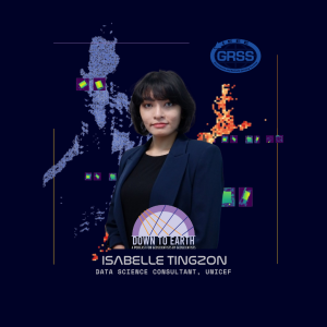
As the previous episodes have highlighted, collaboration plays an important role when it comes to using AI to solve real-world problems. So how do we work across diverse stakeholders to do this work properly? We speak with Isabelle Tingzon, Data Science Consultant, UNICEF, about the power of collaboration in her work, which uses AI and geoscience for socioeconomic development and disaster response. Through her experiences, she showcases the potential of collaborative approaches in driving meaningful impact and sustainable development.
Jan 22, 2025
Jan 22, 2025
33 min
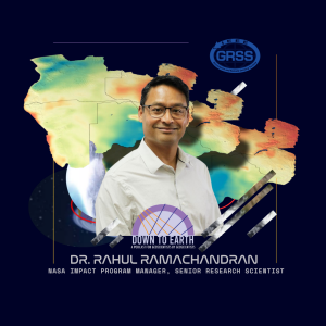
Beyond the challenges inherent in using AI in earth observation, there are some incredibly valuable applications for tackling real-world problems. In particular, Geospatial Foundation Models are leading us to unique insights, discoveries, and solutions to real-world problems that we wouldn’t otherwise uncover. How do these models help us do this, and what challenges are they currently being applied to? We speak to Dr. Juan Bernabé-Moreno, the Director of IBM Research Europe, and Dr. Rahul Ramachandran, Project Manager and Senior Research Scientist at NASA to find out!
Jan 15, 2025
Jan 15, 2025
32 min
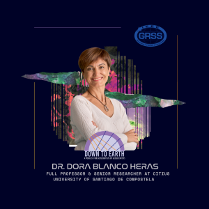
Unlocking the full potential of scientific research requires more than just cutting-edge technology - it demands skilled scientists who can wield it effectively. In this episode, we delve into the world of high-performance computing training, where researchers are learning to harness the power of supercomputers to tackle complex problems and drive innovation. Leading us on this exploration is Dr. Dora Blanco Heras, full professor and Senior Researcher at CiTIUS at University of Santiago de Compostela, and co-lead of the High-performance and Disruptive Computing in Remote Sensing (HDCRS) working group. Together, we explore examples and insights from the HDCRS school to understand how hands-on training and real-world examples are empowering the next generation of GeoAI researchers.
Jan 8, 2025
Jan 8, 2025
34 min
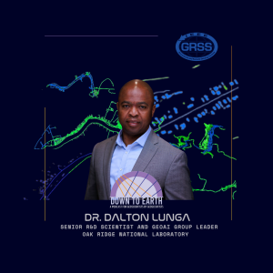
Now that we have the basics of AI use in the geosciences, the question becomes, how do we use and maximize these tools? Enter the supercomputer! With Dr. Dalton Lunga, Senior R&D Scientist and GeoAI Group Leader at Oak Ridge National Laboratory, we explore the cutting-edge world of supercomputers and their role in training large GeoAI models. Dr. Lunga shares insights on how supercomputers like Summit and Frontier are revolutionizing the field of geospatial AI, enabling faster and more accurate processing of vast amounts of data. He also discusses the challenges and opportunities in training large GeoAI models, highlighting the potential for breakthroughs in climate modeling, natural disaster response, and environmental monitoring. Through the conversation, we unravel the pivotal importance of these tools for unlocking new frontiers in earth observation and our understanding of the planet's dynamic processes.
Dec 18, 2024
Dec 18, 2024
38 min
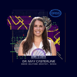
When machine learning was first invented, the infrastructure for processing earth observation data was incredibly slow, often taking days or weeks to generate results. But recent breakthroughs in hardware and software have revolutionized our ability to collect, process, and analyze geospatial data, unlocking new possibilities for research, mapping, and environmental monitoring. At the forefront of this revolution is NVIDIA, whose innovative technologies are transforming the field. In this episode, we explore the latest advancements in GeoAI hardware and architectures with Dr. May Casterline, Principal Solutions Architect with NVIDIA, and Dr. Brent Bartlett, Senior Solutions Architect at NVIDIA. Together, they share insights on how NVIDIA's unique solutions are enabling faster, more accurate, and more insightful geospatial data processing. We also examine what this means when it comes to challenges like the data bottleneck, and the ways NVIDIA is approaching these problems from a new perspective.
Dec 11, 2024
Dec 11, 2024
35 min
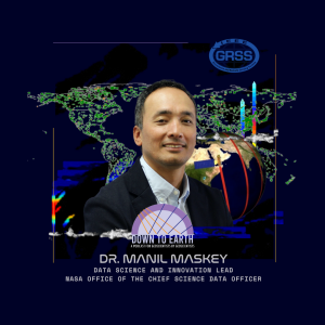
We’ve heard repeatedly that reliable, validated training data is one of the most important, and also most challenging components of ensuring AI models provide accurate outputs. How are we overcoming this challenge? Through Data-centric AI! Data-centric AI emphasizes the value of good data rather than model. So what are some data-centric AI approaches? We speak to Dr. Manil Maskey, Data Science and Innovation Lead, NASA Office of Chief Science Data Officer and Dr. Rajat Shinde, Computer Scientist Level IV, NASA IMPACT, University of Alabama in Huntsville to find out!
Dec 4, 2024
Dec 4, 2024
32 min
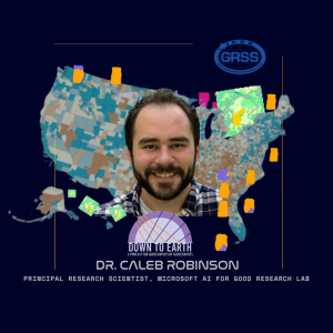
AI is a hot topic these days, but when it comes to geoscience, how is it actually being used? To answer this question, we speak to Dr. Caleb Robinson, Principal Research Scientist, Microsoft AI for Good Research Lab. Dr. Robinson shares insights into the transformative power of AI within the field, providing several interesting examples of how GeoAI is revolutionizing the analysis of satellite data for Earth observation purposes. We also cover the many opportunities available with this growing field, as well as the challenges that need to be addressed to ensure AI is a help as opposed to a hindrance.
Nov 18, 2024
Nov 18, 2024
1 min
Imagine a world where scientists can predict natural disasters before they strike, where we can monitor the health of our planet in real-time, and where we can uncover the secrets of Earth's hidden resources.
Welcome to the future of geoscience, where AI is revolutionizing our understanding of the planet! In this season of Down to Earth, we’re exploring the uncharted territories of AI in geoscience, from the groundbreaking capabilities of supercomputing to the revelatory insights of Geospatial Foundation Models.
As AI challenges and reshapes our understanding of Earth's systems, it also presents some complex, and sometimes unexpected, cultural and social implications. Through deep conversations with visionaries, innovators, and researchers, we'll explore the promises and pitfalls of this technological revolution and we’ll dare to ask the ultimate question: Will AI unlock the secrets of our planet, or, will it lead us down a precarious rabbit hole, we have yet to imagine? Find out this fall on season 6 of Down to Earth: A Podcast FOR Geoscientists BY Geoscientists!
Nov 27, 2023
Nov 27, 2023
32 min
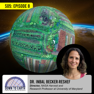
From its role in sustaining and nurturing our bodies to its cultural and social significance, food is a key component of human life. It’s also in serious jeopardy due to climate change. In this episode, we speak with Dr. Inbal Becker-Reshef about her work in the field of food security. Together, we delve into the critical role of geospatial technologies in monitoring agricultural systems, assessing crop health, and predicting yield fluctuations through programs including the GEOGLAM Crop Monitor for Early Warning initiative. Through our discussion, Dr. Becker-Reshef teaches us how geoscientific approaches can shape the future of food security and sustainability.